


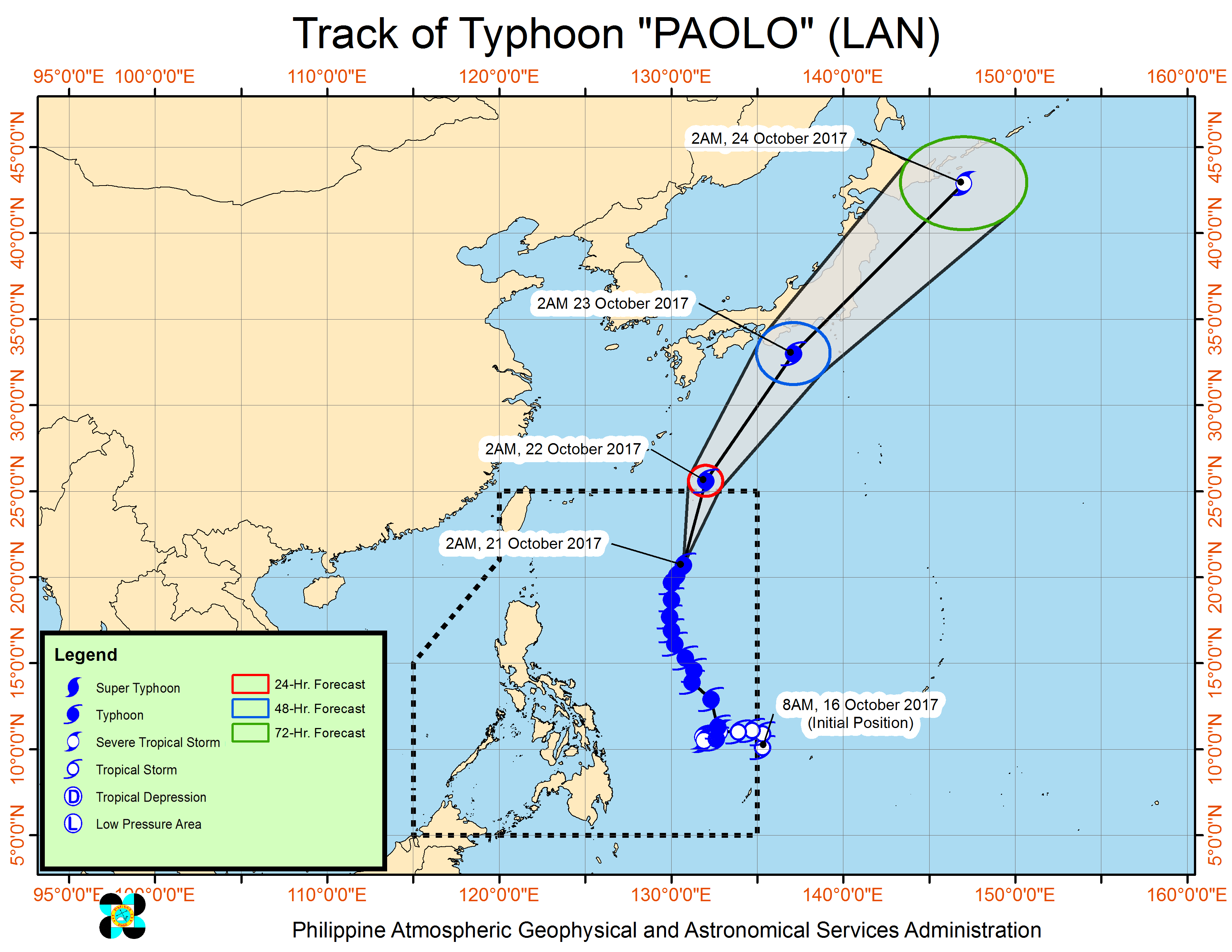
MANILA, Philippines — Typhoon “Paolo” (international name: Lan) is slowly moving away and forecast to exit the Philippine area of responsibility by Sunday morning but will continue bringing rains that could trigger floods and landslides over large parts of the country.
Early Saturday morning, October 21, Polo was last tracked 925 kilometers east of Basco Batanes and moving north-northeast at 17 kilometers per hour. It maintained its strength with maximum sustained winds of 160 kph near the center gusting up to 195 kph, although foreign meteorological agencies forecast it would continue intensifying into super typhoon strength as it neared Japan.
But the low pressure area west of Palawan has dissipated.
The Philippine Atmospheric, Geophysical and Astronomical Services Administration said rainfall within Paolo’s 1,600-km diameter is estimated to be moderate to heavy.
Paolo’s outer rain bands and the southwesterly wind flow enhanced by the storm will bring scattered to widespread rains and thunderstorms over the Visayas, the Cagayan Valley, Ilocos, Bicol and Mimaropa regions, and the Zamboanga Peninsula.
Metro Manila and the rest of country can expect partly cloudy to cloudy skies with isolated rain showers or thunderstorms mostly in the afternoon or evening.
Pagasa said the rains may be accompanied by strong winds and lightning.
Seas will continue to be moderate to rough, making sea travel risky.


