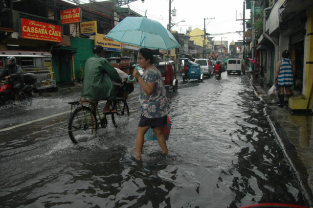
MANILA – Batanes Group of Islands will continue to experience rains due to typhoon ‘Gorio’ while some parts of Luzon will also experience rains due to the southwest monsoon affecting the western section of the island’s northern and central part, state weather agency Philippine Atmospheric, Geophysical and Astronomical Services Administration (PAGASA) said.
‘Gorio’ was last eyed at 555 km north northwest of Basco, Batanes. It has a maximum sustained winds of 140 kph near the center, and gustiness of up to 190 kph, heading west northwest at 15 kph.
PAGASA is also monitoring a tropical storm with international name ‘Haitang’ which was last tracked at 385 km west southwest of Basco, Batanes (outside the Philippine Area of Responsibility).
Rains with gusty winds will prevail over Batanes Group of Islands.
Monsoon rains which may trigger flash floods and landslides is expected over Ilocos, Cordillera, Zambales and Bataan.
Cloudy skies with light to moderate rains and thunderstorms will be experienced over rest of central Luzon and rest of Cagayan Valley.
Partly cloudy to cloudy skies with isolated rainshowers or thunderstorm will prevail over Metro Manila and the rest of the country.
Meanwhile, moderate to strong winds will blow from southwest over rest of Luzon and western part of Visayas. Coastal waters along these areas will be moderate to rough.
Elsewhere, winds will be light to moderate blowing from southwest with slight to moderate seas, PAGASA said.


